
Source: http://www.terragalleria.com/black-white/europe/paris/eiffel-tower/picture.fran42469-bw.html
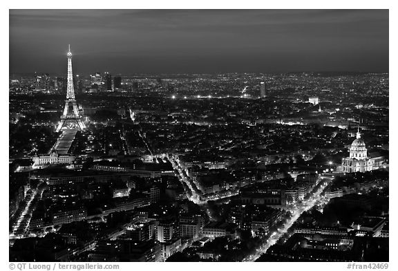
Aerial photos are photographs taken at an angle 3/4 of the way up. It conveys an overlook of a specific area. Aerial photographs qualify as maps because it provides a unique perspective of a region that would not be attained by any other map or drawing but allows a visual aspect of a city or region. By taking an aerial photograph of Paris, France you are highlighting major roadways and landmarks, like the Eiffel Tower and making the location easy to identify.
No comments:
Post a Comment